
Transitioning to multi-risk assessment in the Canary Islands
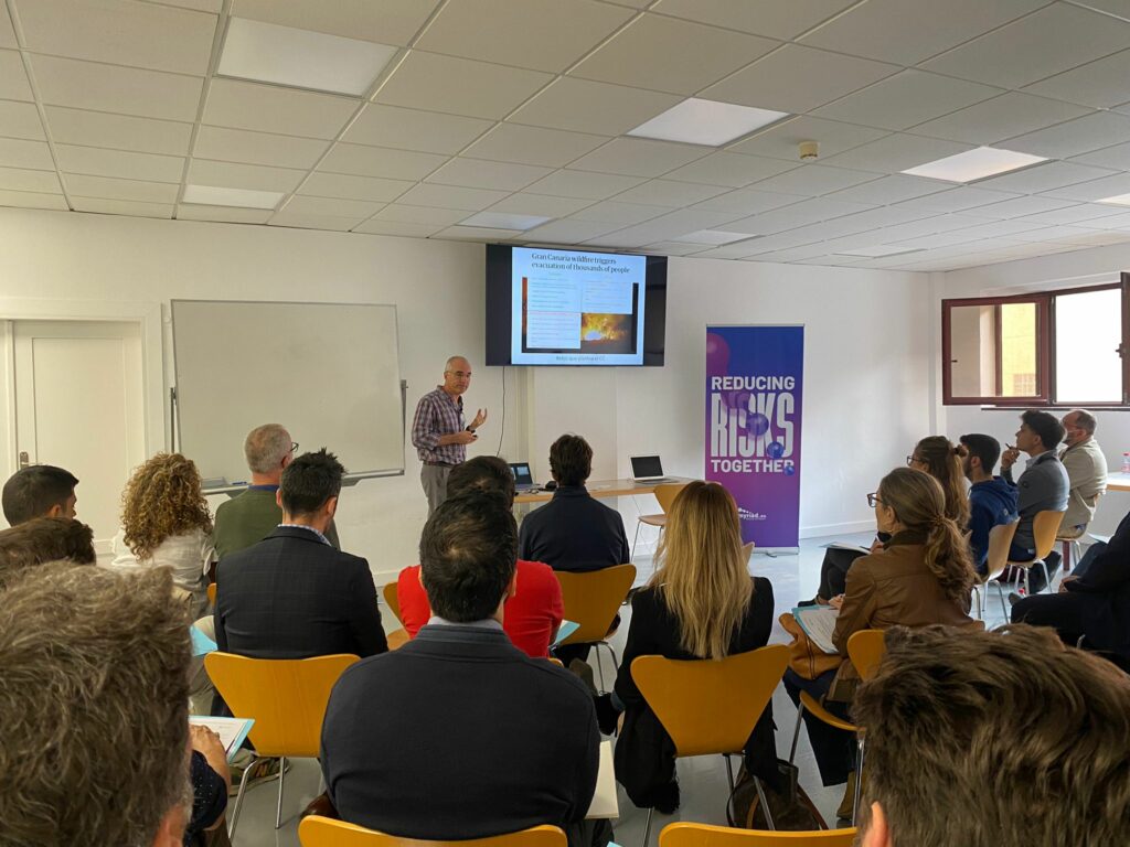
On 26th November 2022, University de la Laguna, located in Tenerife (the largest of the eight Canary Islands) hosted a half-day session to introduce MYRIAD-EU to an audience of sectoral and governmental representatives connected with Disaster Risk Management.
It is hard to imagine that this paradise-like archipelago of islands needs to concern itself with multi-risk assessment and management. However, the islands volcanic origins speak of a need to be cognizant of the linked nature of natural risks and their associated hazards. Volcanic activity, geographical location coupled with governance problems and dependency on tourism for economic development make considerations for multi-risk and multi-hazard scenarios essential.
The MYRIAD-EU Canary Islands pilot will contribute to the EU Green Deal’s aim to advance the EU’s clean energy for EU Islands initiative.
No stranger to multi-risks
The Canary Islands are all too familiar with natural disasters, such as La Palma (2021) which lasted for 83 days and Tropical Storm Hermine (2022) which lasted for three days. Storm Hermine, although short, brought high levels of rainfall which resulted in flash floods, landslides, structural damage, and power cuts across the islands. These occurrences have highlighted the need to have plans in plan to reduce loss of property and minimise the impacts of disasters from multi-hazard events.
Exploring risky scenarios
What better way to get a deeper understanding of the challenges facing the Canary Islands than through workshop of four different multi-risk and multi-hazard scenarios? The scenarios were designed to communicate the complexity of the MYRIAD-EU challenges and the need for a framework to address these challenges. The stakeholders were provided a territorial space and exposed elements to consider, and one of three types of scenarios (triggering, amplifying or consecutive). They included the following:
- Volcanic eruption, followed by a storm (amplifying)
- Torrential rainstorm causing flooding, followed by a landslide (triggering)
- Two consecutive storms (consecutive)
- Drought followed by a wildfire (amplifying)
These scenarios enabled participants to consider present and potential future occurrences and the relevant actions to be adopted to decrease their sector’s vulnerability. The addition of a second hazard brought about discussions within the groups of the dangers of adopting a ‘one fits all’ solution and potential for maladaptation.
The discussions between stakeholders based on improving multi-risk assessment and management was fed by the following points:
- The knowledge on climate action by regional, national and EU governments is high, but solutions are concentrated on past planning and are reliant on a single hazard focus and direct risks.
- Governance issues currently prevent regulations from being adapted at regional, island and municipal levels to account for natural hazards and risk management.
- There is the potential of improving risk management and decision-making processes though adopting a focus on social capital which considers the needs of the public and knowledge sharing though the application of Nature based solutions (NBS) towards reducing direct and indirect risks.
Exchanges between participants revealed the importance of improving governance to facilitate reforms and regulatory changes and how the disconnect from continental Europe’s infrastructure has increased the islands vulnerability to natural hazards, especially during emergency periods.
Research in action
On 23rd March an activity was held for VUA students centred around risk awareness, analysis and management. Based on last years’ experience students were given a village/vulnerable area where they were asked to choose the two most probable (consecutive) hazards, by doing an area study through GIS and making specifications in the field. Based on these elements they studied the exposure; vulnerability (including the perceived vulnerability) and drawbacks of the two disasters. The programme has been running for 2 years, and provides students with fieldwork while developing their GIS analysis skills through practical application on Tenerife Island. Students present preliminary results on the vulnerability of the area, the at-risk zones while providing suggestions on measures to reduce these risks. Last year focused on the interdependences between sectors and this year the interactions between two hazards and their probability of occurrence with the area (as chosen by the students) was the focus.
Next steps
The workshop provided the first step in exploring a multi-risk framework that can be used to revitalise and facilitate greater collaboration between different institutional agents. The MYRIAD Framework was well received and mainly viewed as a way of improving sectorial collaboration however in the future its envisioned that MYRIAD-EU’s tools will be further explored and expanded upon.
Stay tuned for the next Canary Islands pilot event which will be a focus group in November 2023.